Behind the Shot
For thousands of years, humans have settled along the 183-mile-long Owens River in eastern California. The first settlers, the Northern Paiute, and Shoshone tribes, who called the river “Wakopee,” dug canals and built dams to grow crops and trap fish. In the mid-1800s, American explorers, including Richard Owens —for whom the valley, river, and lake to the south were named—identified the commercial and agricultural potential of the area and set up farming and mining operations. Starting in 1913, water from the Owens River was diverted by the Los Angeles Department of Water and Power to support the growing Los Angeles area, and by 1920, so much water had been diverted that agriculture in the area was all but finished. In 2006, efforts began to restore the river to its pre-1913 condition, and within a year, native fish, birds and other wildlife began to return to the area for the first time in nearly 100 years.
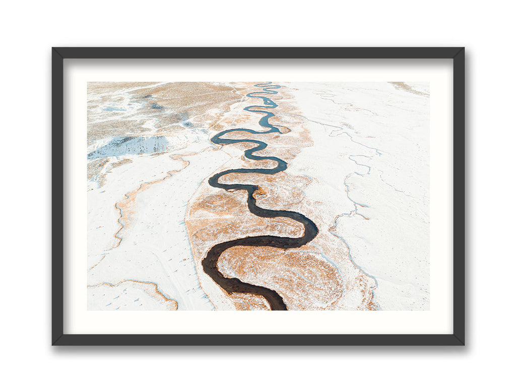
Ryan’s family has lived in the area for generations. “I grew up in the valley, in Bishop, about a half hour south of the Mammoth Lakes area where I shot this. Growing up in the Eastern Sierra, you’re used to seeing the mountains and the rivers from one angle. It wasn’t until I saw some shots taken from a helicopter that I realized there was a whole new way of seeing this place that I call home. The area I loved took on a new look. The shapes and textures took on a more painterly aspect, because from above, things become more two-dimensional without the depth of field. The winding river, the contrast between the snow and the water, and the dead grass and the textures, become primary. Whether it’s Bishop or the snow or the ocean, I enjoy taking these top-down drone shots. It helps me appreciate something I’ve seen all my life in a new way.”


